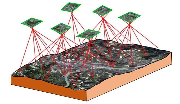
Drone Based Survey
A drone survey refers to the use of a drone, or unmanned aerial vehicle (UAV), to capture aerial data with downward-facing sensors. During the survey, the ground is photographed several times from different angles, and each image is tagged with coordinates. From this data, a photogrammetry software can create geo-referenced orthomosaics, elevation models or 3D models of the project area. These maps can also be used to extract information such as highly-accurate distances or volumetric measurements, with all survey data georeferenced.
Unlike manned aircraft or satellite imagery, drones can fly at a much lower altitude, making the generation of high-resolution, high-accuracy data, much faster, less expensive.
Benefits of Drone Surveying
- Reach difficult terrain and map otherwise inaccessible areas
- Capture data during operation without disruption.
- Higher accuracy and exhaustive data, as a drone survey produces thousands of measurements (compared to a total station that only measure
individual points). - Faster turnaround time.