Services
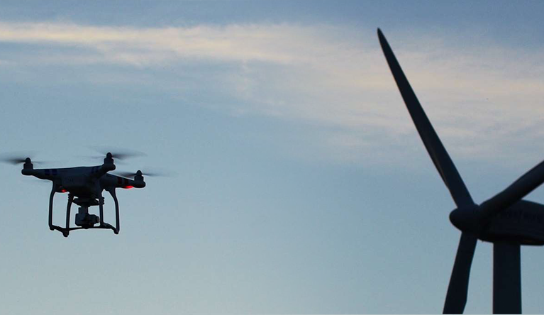
Drone Based Survey
Surveying with a drone offers possibility to carry out topographic surveys of the same quality as the highly accurate measurements collected by traditional methods, but in a fraction of the time. This substantially reduces the cost of a site survey and the workload of specialists in the field.
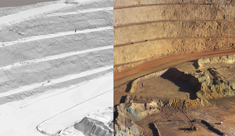
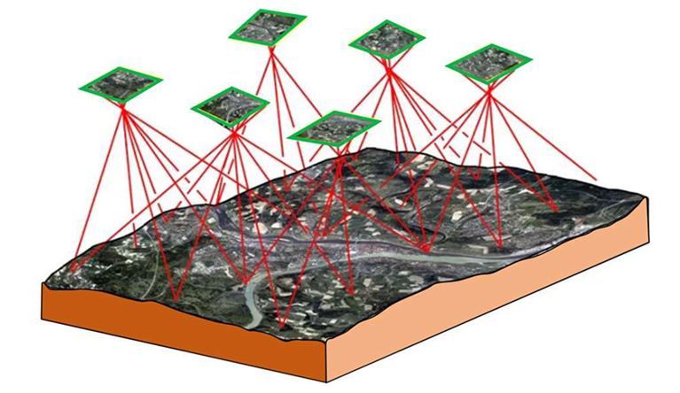
3D Reality Modelling
With 3D mapping software, it is also possible to obtain volumetric measurements from the very same images captured by the drone. This fast and inexpensive method of volume measurement is particularly useful to calculate stocks in mines and quarries for inventory or monitoring purposes.
Asset Inspection
Drone based inspections provide an attractive alternative to infrastructure with either limited access, is inaccessible without elevated platforms or is of high exposure risk for the maintenance/inspection workforce.